
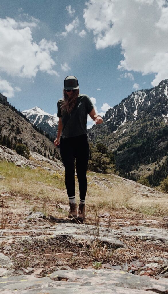
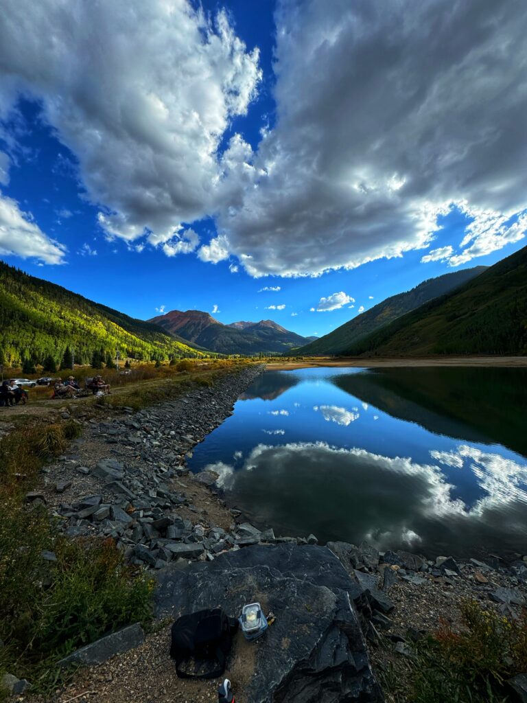
Looking for the BEST Hikes in Ouray Colorado? You’ve come to the right page! Ouray, Colorado. Elevation: 7,792 feet. Often referred to as the “Switzerland of America.” Pronounced “yuu-ray.” This little slice of heaven is located on the Western Slope of Colorado. Located 40 minutes from Montrose, 1 hour from Telluride, and 15 minutes from Ridgway. I first visited Ouray in 2020 and fell in LOVE! The natural beauty that surrounds this little mountain town is truly incredible and is home to so many amazing hiking trails! Locals usually know the best trails — and with Ouray practically in my backyard, I think I’ve earned that title!
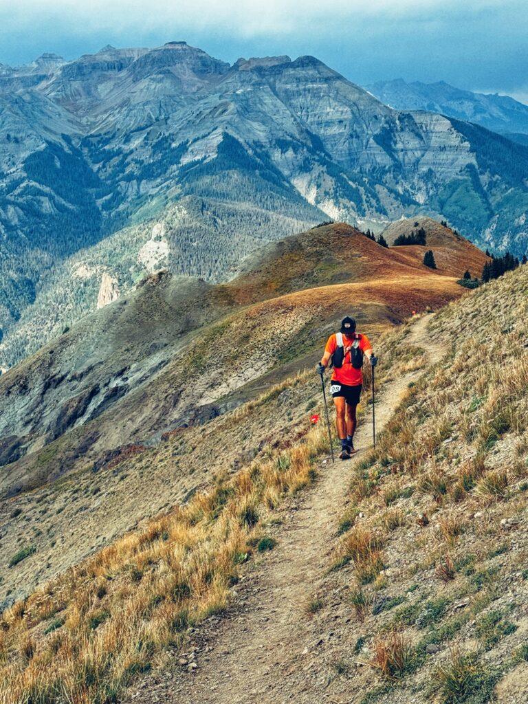
Hiking in Ouray isn’t for the faint of heart. Most trails in the area feature serious elevation gains — typically anywhere from 1,400 to over 3,000 feet. It’s essential to come prepared and take time to review both mileage and elevation before setting out so you know exactly what you’re getting into. For more info on Ouray, Colorado check out their visitor site here.
Now that you’re ready — let’s dive into the best hikes in Ouray, Colorado!
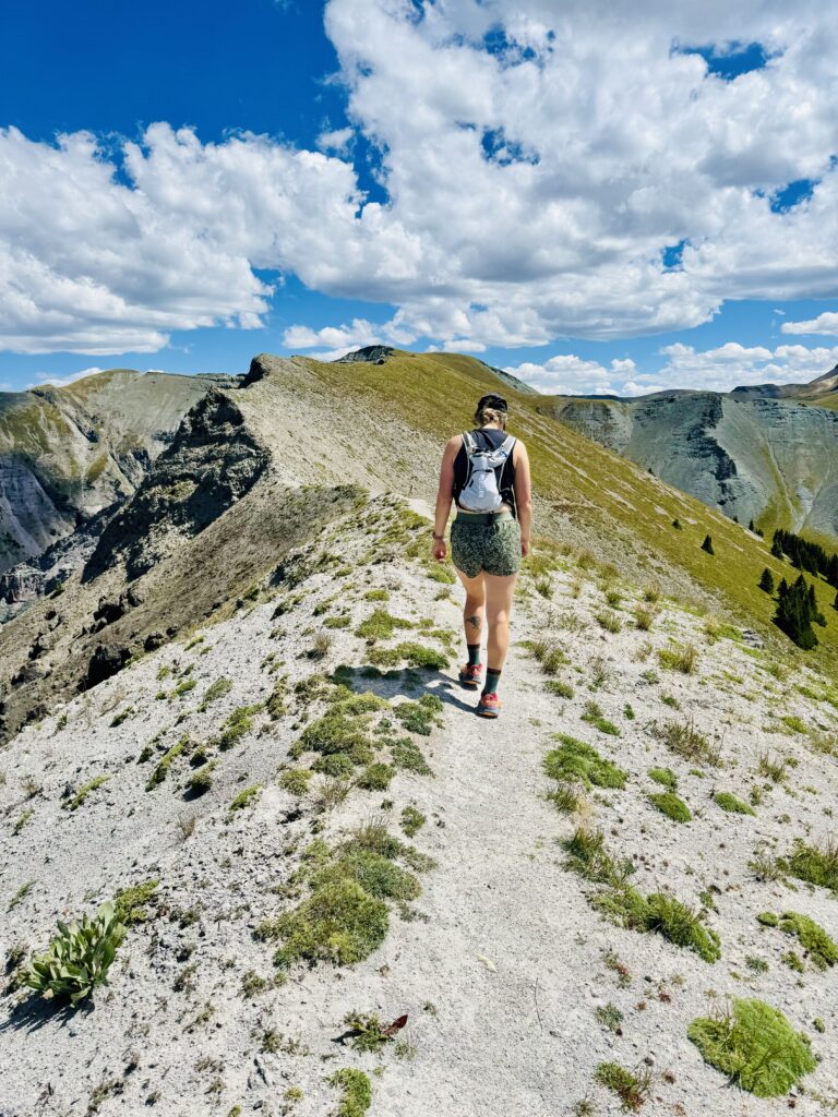
Perimeter Trail
Difficulty: Easy
Distance: 5.6 miles
Elevation Gain: 1,800 ft
Parking: Ouray Visitor Center
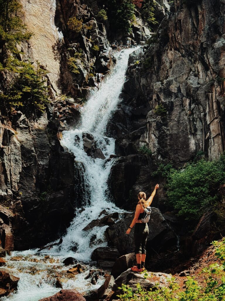
Notes: This is a heavily trafficked trail, with the most congestion occurring between Cascade Falls and Box Canyon. If you’d prefer not to tackle the entire route, it’s easy to break it up into sections. I recommend starting at the Ouray Visitor Center, hiking to Box Canyon, and then enjoying a leisurely walk back through town to your car. One of the best hikes in Ouray!
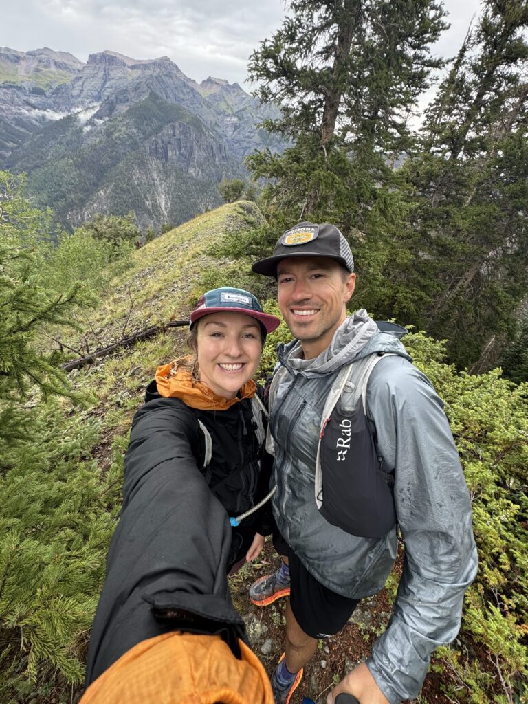
Bridge of Heaven
Difficulty: Hard
Distance: 9.6 miles
Elevation Gain: 4,871 ft
Parking: Old Horsetheif Trailhead (limited parking)
Notes: This option is via Old Horsethief trail located right across from the Hot Springs Inn.
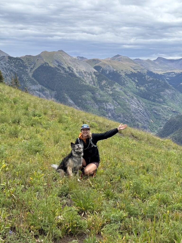
Twin Peaks
Difficulty: Hard
Distance: 6.3 miles
Elevation Gain: 3,450 feet
Parking: Park at Silvershield TrailHead (limited parking)
Notes: This option if for Twin Peaks Via Silvershield. You can also access Twin Peaks from the Perimeter Trail (Oak Creek). From Oak Creek it’s 6.6 miles and elevation gain of 3,051 ft. I’ve done both ways and I prefer the Silvershield route.
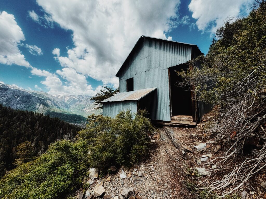
Chief Ouray Mine
Difficulty: Moderate
Distance: 7.48 miles
Elevation Gain: 2,621 feet
Parking: Park at Cascade Falls Parking Lot
Notes: For a more challenging or longer hike start at Ouray Visitor Center Parking Lot (follow Perimeter trail to Upper Cascade Falls Trail then to Chief Ouray. Fun water feature crossing at the top to get to Chief Ouray Mine).
Hayden Trail
Difficulty: Difficult
Distance: 7.23 miles (one-way)
Elevation Gain: 3,845 ft
Parking: Park near Angel Creek Campground on Camp Bird Road – follow signs for Hayden Road (Hayden Trailhead). Can also park at Crystal Lake on Highway 550.
Notes: Most commonly accessed by either 550 or Camp Bird Road – most people will hike up 2-4 miles and return back down to their car. Option to shuttle vehicles and complete the whole trail up and over Hayden.
Reminders & Trail Etiquette:
I know that we all LOVE Colorado and hiking in this beautiful state- sometimes too much. Just some things to keep in mind and consider when planning for your next adventure!
- Stick to marked paths — going off-trail causes erosion, damages alpine vegetation (which grows slowly), and widens trails unnecessarily.
- Avoid shortcuts, especially on switchbacks — they destabilize the terrain.
- Take all your trash (even organic waste like orange peels and sunflower seeds).
- Bring a small trash bag — and bonus points if you pick up litter others left behind.
- Carpool or Shuttle when you can -many trailheads are overcrowded and it’s more fun to hike with friends anyway 🙂
- Follow Leave No Trace Principles


Planning a trip to Western Colorado? Be sure to check out my other posts: Black Canyon of the Gunnison Travel Guide: Best Hikes, Viewpoints & When to Visit and Great Sand Dunes National Park Travel Guide: Hiking, Sandboarding and Camping Tips
Leave a Reply